Ponta de São Lourenço: plan for an exposed coast walk
What to consider before walking PR8, from the treeless terrain to the return distance and a Machico finish.
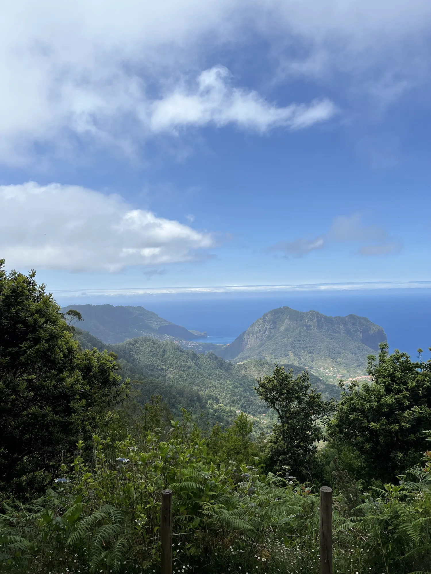
Ponta de São Lourenço gives you a different Madeira: open ground, low vegetation and the sea on either side of the peninsula. Choose the walk because that terrain appeals to you, then plan around exposure and the return distance. It is an outing that needs more than a quick stop for the view.
Read the distance as a return journey
The official PR8 page describes four kilometres outward and another four back. That means you should plan for the full eight-kilometre outing if following the listed route to its end. The page’s indicative time is a guide, not a deadline for your group. Add stops and the time you need to move carefully on uneven ground.
Confirm the current extent of the route and any diversions. When researched for this guide, the official entry flagged restrictions and signed changes. Use the live page before travelling and obey the directions on site.
Pack for the open terrain
The tourism board explains the sparse vegetation through the area’s semi-arid conditions and exposure to wind. Think about sun and wind together when packing. Carry drinking water, sun protection and a layer that is easy to put on without unpacking the entire bag.
Keep the load small enough to carry comfortably for the return. A heavy camera bag feels different several hours into an exposed walk. If you only use one lens most of the time, take that one and leave the spare equipment behind.
Make a turn-round decision early
An out-and-back route gives you the option of shortening the walk, within the permitted open section. Agree on a turn-round point or time before starting, especially if people in the group walk at different speeds. Someone who turns back early should have a clear plan and company appropriate to the circumstances.
Do not use the furthest viewpoint as the only definition of success. A shorter permitted section can still give you the coast’s shapes and the contrast between rock and water. The return requires energy even after the main photograph is taken.
Photograph from the path
Look for the line of the headland rather than trying to get closer to an edge. A frame with the route bending through the land can explain scale better than a photograph containing only the sea. Wait until the path is clear enough to stop without slowing everyone behind you.
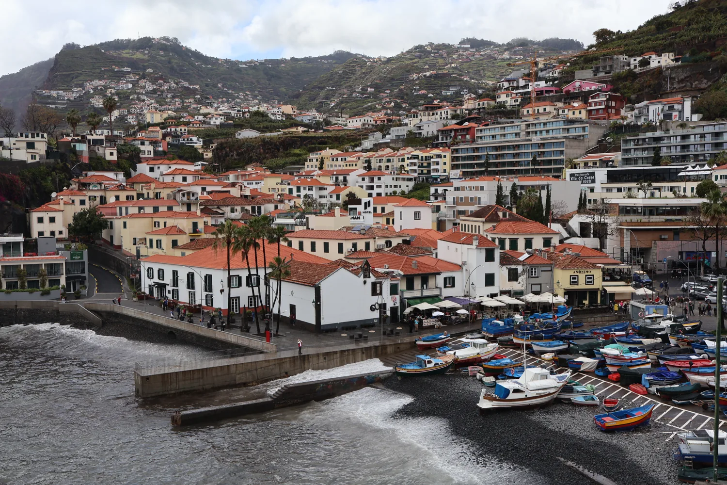
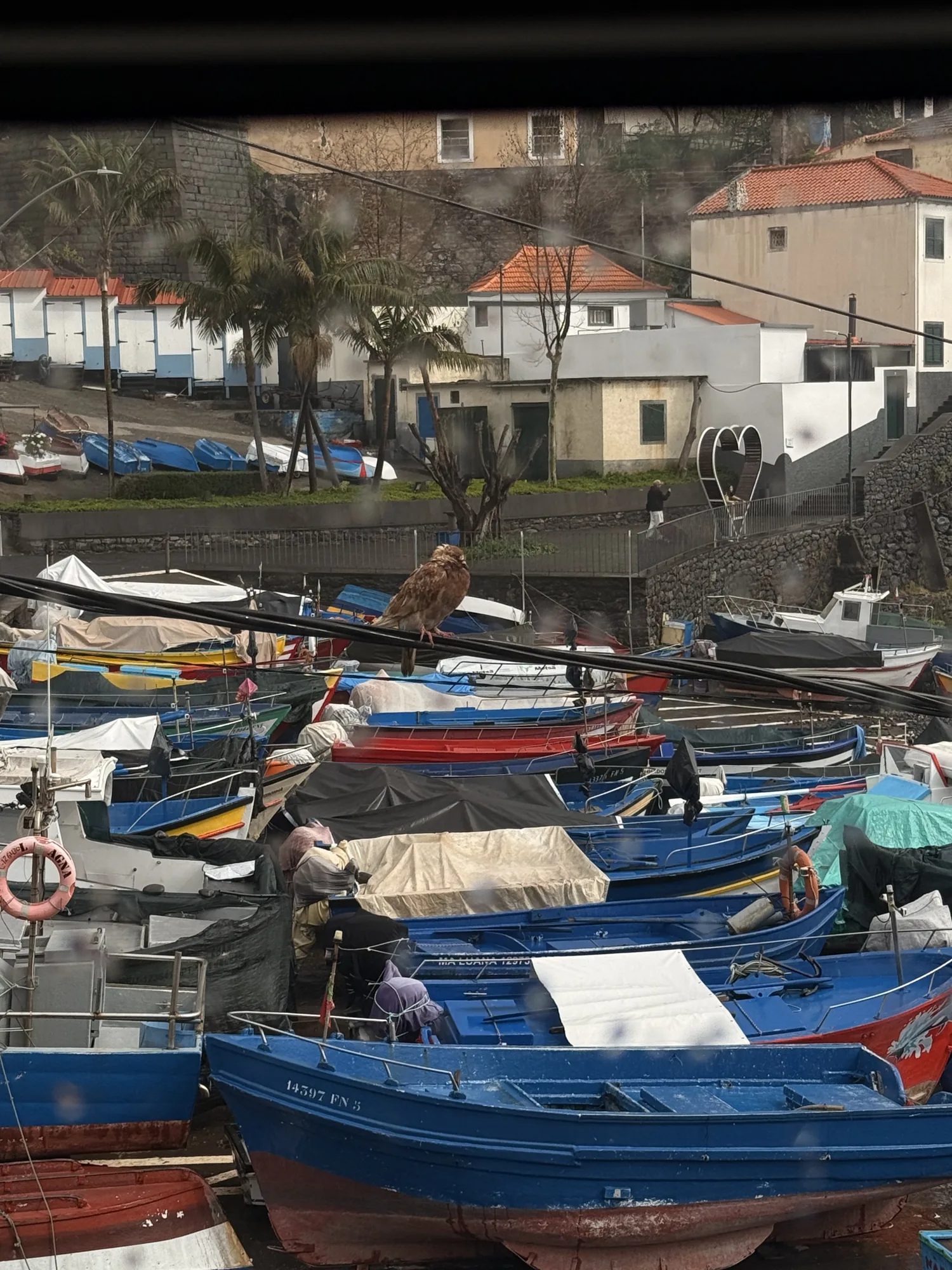
The harbour photograph accompanying this guide is from Câmara de Lobos, in the wider Madeira collection. For São Lourenço itself, use the live PR8 information and forecast to judge exposure, access and the distance you intend to walk. Keep that distinction in mind when comparing attractive pictures with the practical route description.
Finish the outing in Machico
If the return arrangement allows it, leave time for a meal or a gentle waterfront pause in Machico afterwards. Having a clear second stop makes it easier to avoid rushing the walk. Keep that plan flexible if the weather or your energy changes.
Book any required trail access through the official route guidance, then arrange the journey to and from the start separately. Save both confirmations. This is a coast walk with its own character, and it becomes easier to enjoy when the mundane decisions are made before your first step.
Sources & visitor information
Destination information checked on 4 October 2026. Use the linked venue or authority for current access and booking details.
← More from the journal