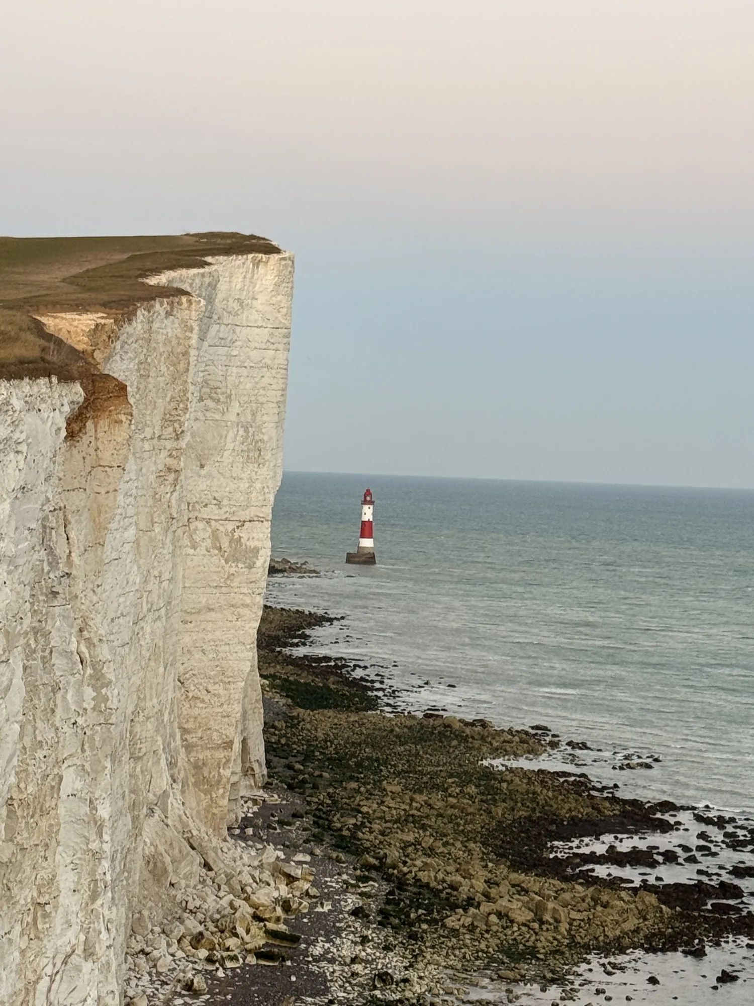
Beachy Head and Birling Gap: a coastal photo walk with limits
White chalk and a small lighthouse make a clear picture; keep the route just as clear.
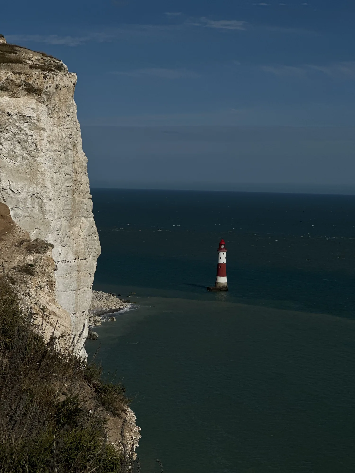
Beachy Head and Birling Gap offer the strong lines that make a coast photograph easy to recognise: pale chalk, dark sea and a lighthouse small enough to explain the scale. Decide on a mapped walking section before travelling. The exposed downland and the return deserve as much thought as the viewpoint. The cover holds the lighthouse well below the chalk face, keeping the difference in scale visible.
Use a published route as the boundary
The official country-park walking information includes a Beachy Head to Birling Gap outing and describes undulating ground, uneven tracks and road crossings. Download the current route and check whether your chosen version includes a separate return section. A walk that ends in a village is not automatically a circuit back to the starting point.
Choose a shorter out-and-back if you want more time for photographs and less time walking. Mark the turning point beforehand and keep an eye on the available daylight. If you plan to use a bus at the end, confirm the stop and service rather than assuming a road beside the Downs will provide a convenient connection.
Photograph from stable ground
The small red-and-white lighthouse below the cliffs works as a scale marker. Keep enough of the cliff and surrounding water in the frame for that relationship to remain visible. A closer crop can isolate the tower, but a wider photograph explains why it seems so small.
Stay on the permitted path and leave a substantial margin from the edge. National Trust guidance at Birling Gap is to remain at least five metres back, with further distance wherever signs or conditions require it. Avoid sitting close to the edge or stepping backwards to improve a frame. The photograph should begin with a safe standing place, and the lens choice should follow from there.
Treat Birling Gap beach as an option
Check the live visitor information before planning to descend to the beach. Access arrangements can change, and tides affect how much shore remains available. The National Trust advises keeping the beach steps in sight and staying back from the cliff base. There is no lifeguard provision at the beach.
A view from the upper route still gives you the chalk profile and the meeting of land and sea. If the steps are closed or the tide and conditions are unsuitable, keep the day above the shore. Do not turn an unavailable beach visit into a search for an unofficial descent. The outing’s main value is the coastline, which remains visible without taking that risk.
Let wind decide the length
Check the forecast before leaving and be willing to shorten the exposed part. A jacket that felt unnecessary near a station can matter on the open Downs. Carry food and water, plus shoes with a grip that suits uneven grass and chalk. Keep your phone and route available offline.
Take a break before your return rather than using every remaining minute for another viewpoint. If the light is flat, look for the cliffs’ shape and the colour difference between water and sky. If it is bright, watch where deep shadows lose detail. A short, patient sequence can describe the coast without requiring a long hike or a perfect sunset, and leaves enough energy for the final walk to your transport.
A few useful answers
Can I always reach the beach at Birling Gap?
Check current National Trust notices and tides. Step access and shoreline conditions can change.
Is the Beachy Head walk flat?
Published routes describe undulating downland and uneven sections. Read the full route and return before setting out.
Sources & visitor information
Destination information checked on 4 October 2026. Use the linked venue or authority for current access and booking details.
← More from the journal